Fire brigade drone with AI for a safer Weinheim Kerwe

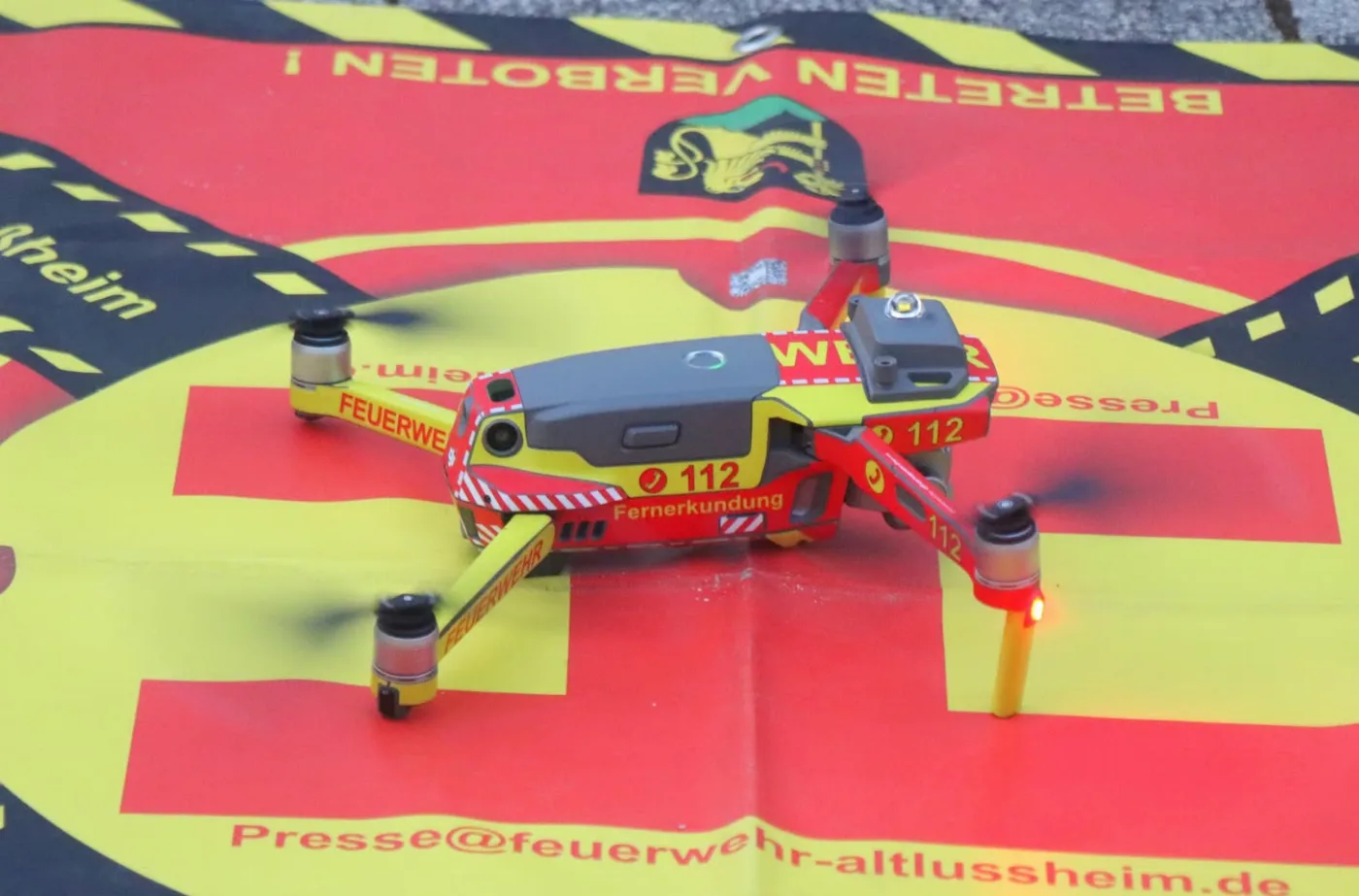
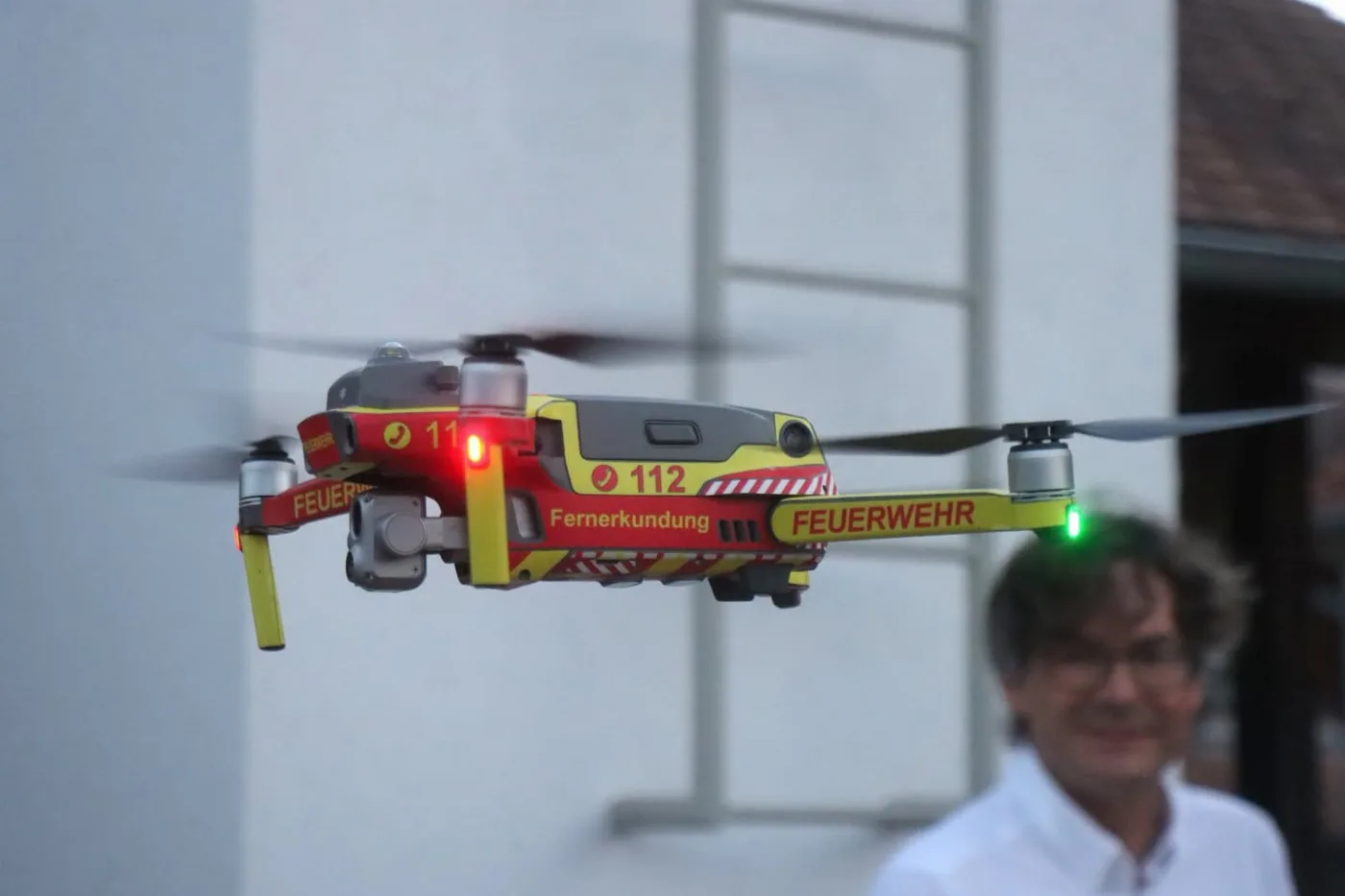
The red and yellow fire brigade drone in flight
Picture: Feuerwehren Metropolregion Rhein-Neckar

At the Weinheim Kerwe 2026, the fire brigade analysed the images from its drone with artificial intelligence for the first time. We developed the entire software and the AI for it and co-advised the project, in cooperation with Prof. Dr. Ralf Otte and L&I IT-solutions.

  • August 2026
  • Weinheim Kerwe, old town
  • Weinheim fire brigade with Red Cross and police

Eyes on the Kerwe

Every year the Weinheim Kerwe, the town's old-town festival, fills the narrow lanes of the historic centre. Since 2025 the fire brigade has flown a drone with a thermal camera over the festival grounds. Its images showed crowd flows and incident locations, but reviewing them remained manual work, and the situation assessment lacked comparable figures.

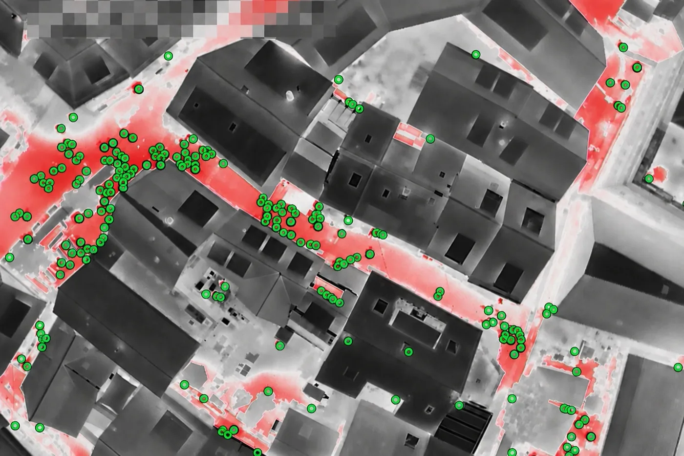
For 2026 this was to become a shared situation picture. The software assigns every drone image to a place and time, estimates the number of people, relates it to the walkable area and reports where it gets crowded. Faces are blurred automatically; people are counted, not identified.

The AI advises, the incident command decides. On the Friday evening of the Kerwe the system reported a crush in a narrow lane, and the incident command had a temporary one-way rule set up there.

The basis was incident data from earlier Kerwe years provided by the fire brigade. It also fed an hourly forecast of expected incidents. The software was ready for operation within a few days and developed further during the Kerwe; we deployed several updates during the festival weekend.

From drone image to situation picture

Bley IT took on the entire software development and the entire AI development and co-advised the project. It was carried out in cooperation with Prof. Dr. Ralf Otte, professor of industrial automation and artificial intelligence at Technische Hochschule Ulm, and the Weinheim IT company L&I IT-solutions.

During operation the application brought image analysis, situation map, incident reports and forecast together in one interface:

  • Upload drone images in batches; waypoint and capture time are assigned from the metadata
  • Count people on thermal and colour images, without identity or face recognition
  • Density per walkable area and a risk level that responders can raise or lower with a reason
  • Blur faces on drone and ground photos automatically
  • Shared situation map, incident reports and live ticker for fire brigade, Red Cross and police
  • Hourly incident forecast from the data of earlier Kerwe years
  • In-app notification as soon as a flight evaluation is complete or shows something unusual
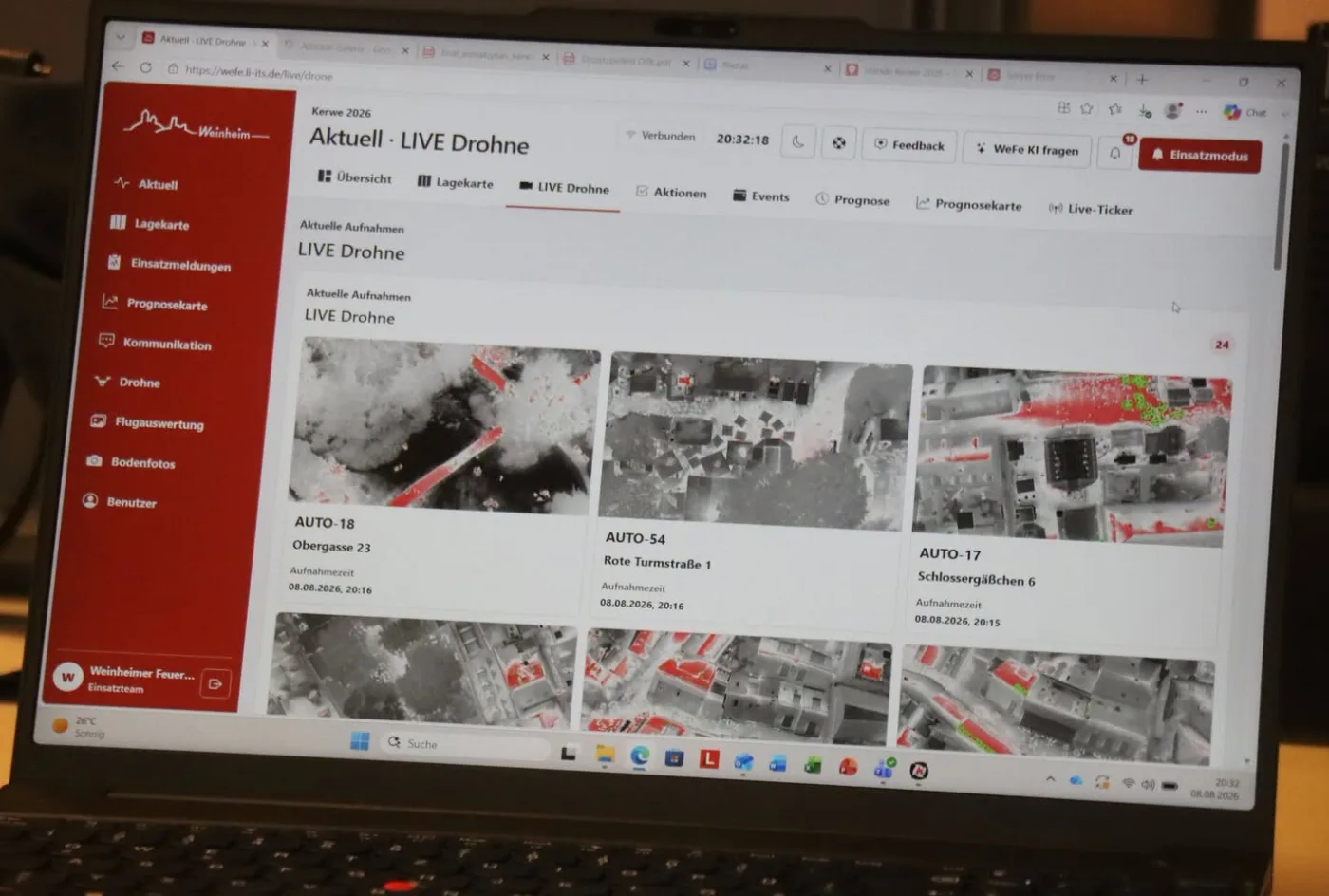
Laptop showing the live drone view of the operations software with anonymised thermal images
Picture: Feuerwehren Metropolregion Rhein-Neckar

Press and reports

A click opens the original article, most of them in German; the picture credit is on each preview.

All references & press

Contact

Bley IT Software and AI automation Ulrichstraße 24 72072 Tübingen Leonard Bley kontakt@bleyit.com

Tell us what is on your mind. We reply within 24 hours on working days with a suggestion for a call.

You are leaving bleyit.com

Book a call

Pick a time for the first conversation, 30 minutes and free of charge.

Loading free times …